Day 13: Tuesday, August 26
/Tenting on the trail somewhere in the Palmerton Superfund site (AT SOBO mi ~928.7) walked ~21.3 miles today
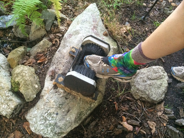
Got up at 7 sharp and by 7:30 was out and moving, well ahead of Princess. After about four miles I was at the road for Wind Gap, PA, with a hankerin' for some breakfast and some laundry, but no one in their car would pick up dusty old Scrub so I had to walk about a mile into town before stumbling upon a laundromat with a gas station/c-store across the street. "That'll do," I said to myself, and proceeded to get most of my clothes clean and consume some gas station food and a quart of whole milk for breakfast. While I was being trashy huddling in the corner of the laundromat in my rain gear with my milk carton, hogging the one electrical outlet to charge my phone (hikers will recognize this scene), Princess texted to ask where I was; she had been picked up within 30 seconds of sticking her thumb out and had been taken to a different laundromat a mile away, so she stuck her thumb out again and in 30 seconds got picked up and taken to the one I was at. After a quick and very unhealthy resupply at the gas station (Snickers and Swedish fish being the two staples), local hero and friend of the trail Keith offered us a ride from the parking lot and we were back on around 11.
The trail, to put it bluntly, was shit for about eight miles south of Wind Gap. Not content with letting it be just rocky, the maintaining club in that section (the AMC again, surprise surprise) had left it overgrown with weeds, narrow and winding through dull featureless forest. The abject shittiness let up after a time and the final few miles down to the next road/landmark, Little Gap, were manageable. There was no natural water within a mile of the trail all day, so I relied on Gatorade from the initial town stop and H2O caches (one at a shelter, one at the road at Little Gap) to get by.
After Little Gap, where we supped, it was a short climb up to this odd environment, the Superfund site, which has something to do with a century of (probably poorly regulated) zinc mining and smelting in the area. It's dry and rocky/dusty and there aren't many trees, which gives it a bit of a Hat Creek Rim feel (PCT), except it's three miles long instead of twenty. It was great for walking in the evening because the sun was setting and we could see for miles in many directions over civilization. The trail itself was the only flat and soft place we saw after about a mile of looking, and we know no one's hot on our heels and we're getting up early tomorrow anyway, so we pitched our tents right in the middle of it like bosses. This has to rank as one of the most scenic, maybe *the* most scenic, tent sites I've had on the AT, this year or in 2011 when I hiked most of it. It doesn't quite touch some of the spots from the PCT last year, but at any rate, it was a fantastic evening walk and it'll be easy to get up tomorrow morning and make some miles, camped out in the open light as we are.
More pictures on Instagram: http://www.instagram.com/scrubhiker