Superior Hiking Trail Day 11: Friday, September 4
/Tenting at the Cliff Creek campsite (SHT mile 256.1), walked 21.6 miles today
It was such a cool and clammy night that my down sleeping bag, my Western Mountaineering Flylite, couldn’t keep me warm despite being rated to 34F and me pulling every trick in the book to cinch it up and cut off drafts. Someone later told me the overnight low was 48. Suspicious, Western Mountaineering, awfully suspicious. Even with the lousy sleep, my legs were alive in the morning, and both the trail and the weather were gloriously benign all day. Today certainly felt like the high-water mark for the SHT. Friendly forest, gorgeous gorges, clear creeks, sunny skies. With backpacking, everything is so much easier when it’s dry—I remember thinking toward the end of the PCT when we got a one-day reprieve after several days of precipitation, that doing this in the rain might as well qualify as a different sport with a different name than doing it when it’s dry. Today certainly bore that out; it was very easy going.
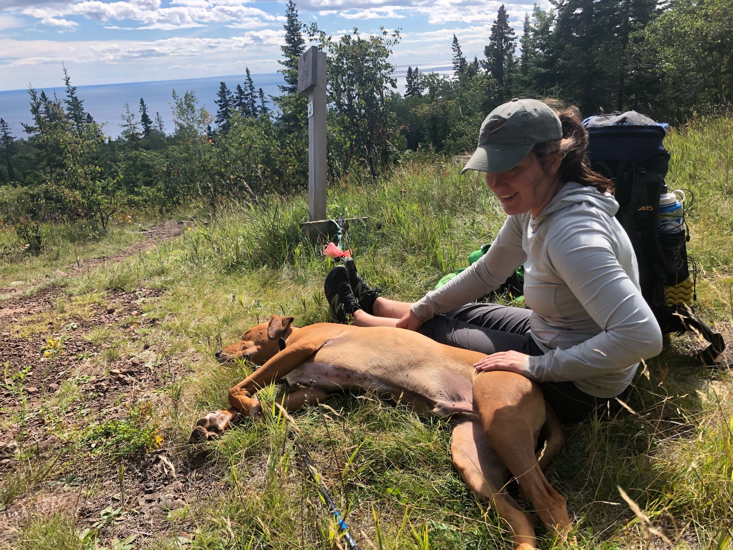
Dana the keymaster, and Barley, exhausted after just a few days of southbOunding.
Around 12 miles in, I ran into Dana, who parked her ‘64 Impala (well, it’s an Impala at least, I could be off on the year) at the northern terminus and started hiking south with Barley a few days ago. She handed me the key and now I have a way out once I’m done; I’m not stuck the North Woods competing with the meese and bears for this year’s meager berry crop as winter sets in. We sat in the sun overlooking Grand Marais from Pincushion Mountain and gave each other the lowdown for what to expect the next few days, as Barley flopped in the grass but rose dutifully to menace every man woman child and especially dog who walked by. With the hour growing late (2:45), I set out for the last nine miles and despite a different sobo telling me earlier today how HORRIBLE and HARD this area was, I knocked it out in pretty comfortable time. An unexpected highlight came with about two miles to go: my guidebook named a “Wildflower hill,” which could mean anything, but imagine my surprise when I popped out of the woods to a panoramic, unobstructed view of Lake Superior, right at the golden hour! One of the benefits of being purposefully underinformed about the trail (no Guthook app, no maps, no elevation profiles, no thru-hiker grapevine) is that things that probably everyone else knows about can still surprise me. This was one such moment.

“Wildflower hill,” the surprise overlook of Lake Superior at the end of the day.
I feel twice as strong now as I did at the start of the hike, with foot pain in the form of blisters more than bone stuff being the one thing that sometimes holds me back. That feeling of having new strength and balance and purity is addictive; I distinctly remember the day it arrived on both the AT and the PCT, each time after roughly a week; if it took me ten days now, I guess it’s that I’m older and started out in worse shape. Tomorrow, at least another 21 with a bonus visit to Lake Superior in the middle.

A robust dinner of Idahoan instant mashed potatoes, fortified with plenty of olive oil, hunks of summer sausage and cheddar cheese. In all serIousness, eating big calorically dense dinners like this helped out a lot with feeling strong every subseqUent morning—a benefit i never enjoyed in the days of stoveless hiking on the at and pct.